National park guide
Sila National Park guide
Sila National Park protects about 74,000 hectares of the Sila plateau, the high, forested heart of northern Calabria across the provinces of Cosenza, Catanzaro and Crotone. Expect laricio pine and beech forest between roughly 1,100 and 1,900 meters, reservoir lakes such as Cecita, Arvo and Ampollino, and mountain resorts like Camigliatello Silano and Lorica. From Tropea it is about 2 to 2 hours 30 minutes by car, so treat it as a full day. The famous Giganti della Sila pines were closed until further notice when this page was updated.
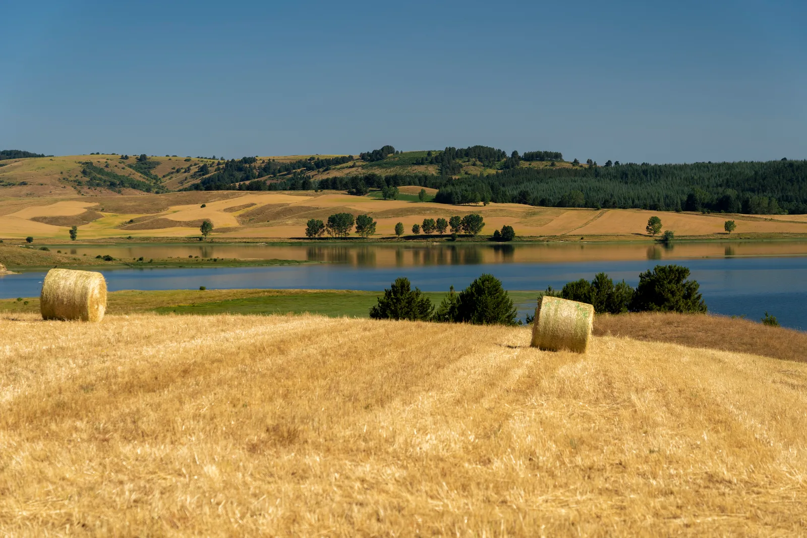
The Sila is an old granite plateau in three parts
The Sila is not one mountain but a broad upland of granite, gneiss and mica schist, counted among the oldest rock in the Italian peninsula. From north to south it divides into the Sila Greca, the Sila Grande and the Sila Piccola. Ancient writers described vast pine forests here, and the timber was prized for shipbuilding.
The national park was created by law in 1997 and formally established by decree on 14 November 2002. Its headquarters are at Lorica, it spans 21 municipalities, and UNESCO's Man and the Biosphere program recognized the Sila in 2014 as Italy's tenth biosphere reserve. This is real mountain country: snow often lies at altitude until late spring.
| Feature | Figure |
|---|---|
| Park area | About 74,000 ha (737 km²) |
| Highest peak | Botte Donato, 1,928 m, in the Sila Grande |
| Highest point of the Sila Piccola | Monte Gariglione, 1,764 m |
| Laricio pine belt | About 1,100 to 1,600 m |
| Lake Cecita | 12.6 km², at 1,143 m, completed in 1952 |
| Lake Arvo | At 1,280 m, created between 1927 and 1931 |
| UNESCO status | Biosphere reserve since 2014 |
The lakes are 20th-century reservoirs, each with its own character
The Sila's lakes look ancient, but they are artificial reservoirs, built in the first half of the 20th century or soon after, largely for hydroelectric power. That history explains their shape: long arms reaching into the pine woods, with dams at one end.
Lake Cecita, also called Mucone, is the largest, about 12.6 km² at 1,143 meters, built between 1949 and 1952 in the comune of Spezzano della Sila. Camigliatello Silano is the main resort near it, and the park's Cupone visitor center sits on its shore. A 2026 regional law allowed boating again under strict limits: sail, oars or small electric motors only.
Lake Arvo, at 1,280 meters, was created between 1927 and 1931 and has a shoreline of about 24 km. Lorica, the park's seat, stands on it, and the water is used for rowing. Lake Ampollino, about 5.6 km², and the much smaller Lake Ariamacina also lie inside the park. For a gentle first visit, a lakeside walk at Cecita or Arvo gives you the plateau in an hour.
The Giganti della Sila are 350-year-old pines, closed for now
The Giganti della Sila are more than 60 laricio pines and sycamore maples, about 350 years old and up to 45 meters tall, in the Fallistro reserve at Croce di Magara near Spezzano della Sila, at about 1,400 meters. They were planted in the 1600s by the Mollo barons, whose purchase of the land is recorded in a deed of 1631 and who kept a hunting lodge nearby. In 2016 the national park entrusted the reserve to FAI, Italy's National Trust.
Check before you plan a day around them. When this guide was updated, FAI's page for the site said it would stay closed to the public until further notice. If it has reopened, book through FAI. If not, the laricio forests around Cecita and Camigliatello give you the same tall, resin-scented woods, if not the same individual giants.
Pines, beech, wolves and deer: what lives in the park
The Sila's signature tree is the laricio pine (Pinus nigra subsp. laricio), a form of black pine that dominates the mountain belt between about 1,100 and 1,600 meters. Beech takes over above roughly 1,400 meters, and silver fir grows on Monte Gariglione, Monte Femminamorta and Monte Scuro.
The wolf is the park's symbol. Red deer were reintroduced in the 1980s in the Golia-Corvo reserve, roe deer numbers have grown with animals brought from the eastern Alps, and the southern black squirrel is the main rodent of the woods.
Autumn is mushroom season on the plateau. If that is your reason to come, read mushroom season in the Sila before you go.
Cupone and the Sila train are the easiest ways in
The simplest first stop is the Cupone visitor center on the shore of Lake Cecita, in the comune of Spezzano della Sila. It is an environmental education center with nature trails, wildlife observation points, a museum and a geological garden. Its botanical path runs about 350 meters past 115 native plant species, with Braille labels, and is accessible to visitors with disabilities. Posted hours are 9 a.m. to 7 p.m., or 8 a.m. to 6 p.m. in winter, and group visits are booked through the Carabinieri biodiversity unit.
The Trenino della Sila is a tourist train on a narrow-gauge Ferrovie della Calabria line of just over 13 km between Moccone and San Nicola-Silvana Mansio, with a stop at Camigliatello Silano. Silvana Mansio, at 1,406.5 meters, is described as the highest station in Italy. Services run on Sundays and also on Saturdays in summer, sometimes behind a restored Borsig steam locomotive, so check the operator's calendar for dates.
Getting to the Sila from Tropea and planning the day
The Sila is about 145 to 155 km from Tropea, around 2 to 2 hours 30 minutes by car on the A2 motorway and then mountain roads. Choose one side of the plateau rather than trying to see it all. Camigliatello and Lorica are only about half an hour apart by road, so a confident driver can link them, but the day fills fast.
Bring a warm layer even in September: at 1,100 to 1,400 meters the air is far cooler than on the coast. A car or a driver is the practical way to move between lakes and villages; see private drivers in Calabria.
| Base for the day | Drive from Tropea | Best for |
|---|---|---|
| Camigliatello Silano and Lake Cecita | About 2 h 15 min to 2 h 30 min | Cupone, lakeside walks, the Sila train |
| Lorica and Lake Arvo | About 2 h to 2 h 15 min | The park seat, lake views, rowing water |
| Fallistro (Giganti della Sila) | About 2 h 15 min to 2 h 30 min | The old pines, only if FAI has reopened the site |
Planning Calabria?
Hear when 2027 dates open
A small group of women, one week in Tropea, everything arranged. Join the list for first word on dates and an occasional letter from Calabria.
One email when 2027 dates open, and an occasional letter from Calabria. Unsubscribe any time.
Questions
How much of the Sila can you see in one day?
One area, comfortably. With four hours or more of driving from Tropea, pick either Camigliatello and Lake Cecita or Lorica and Lake Arvo, add a walk and a long lunch, and leave the rest of the plateau for another trip.
What is the weather like in the Sila in September and October?
Noticeably cooler than the coast, because the plateau sits mostly above 1,100 meters. Expect crisp mornings and evenings, and pack a jacket. Winters are snowy, and snow often lingers at altitude into late spring.
Can you visit the Giganti della Sila?
Not at the time of this update. FAI, which has run the Fallistro reserve since 2016, said the site would stay closed to the public until further notice. Check FAI's page before you go, and use the forests around Lake Cecita as an alternative.
Should you choose the Sila or the Aspromonte for a mountain day?
The Sila is a rolling plateau of pine forest and lakes, easier for gentle walks and a lakeside lunch. The Aspromonte is steeper and wilder, with views over the Strait of Messina and Greek-speaking villages. Read the Aspromonte National Park guide to compare.
Sources and further reading
- Wikipedia (Italian): Parco nazionale della Sila
- FAI: I Giganti della Sila
- Parco Nazionale della Sila: Centro Visita Cupone
- Wikipedia (Italian): Lago Cecita
- Wikipedia (Italian): Treno della Sila
Checked November 19, 2026. Timetables, prices and opening hours change; confirm before you travel.
Keep reading
Related guides